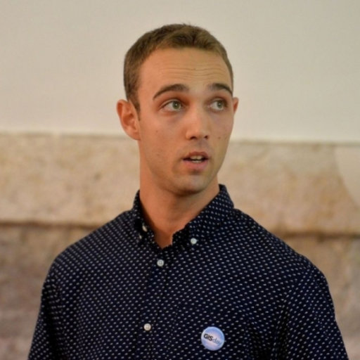
Mr Mirko Barada
School of Ocean Sciences (Nautilus 327)
Bangor University, Menai Bridge
LL59 5AB, United Kingdom

Overview
Mirko is a PhD candidate in physical oceanography at the School of Ocean Sciences, Bangor University. He studied Applied Geography at the University of Zadar (Croatia) where he gained his Master degree in 2017, with a specialization in GIS and geospatial technologies. During study, he received Rector’s award for the outstanding academic results. Later, he worked as a research assistant at the Centre for Karst and Coastal Research and at the Centre for Geospatial technologies in Zadar (2017 – 2019), with a focus on digital terrain modelling.
In November 2019, he moved to UK to start a PhD position in coastal (estuarine) flood modelling at the School of Ocean Sciences, Bangor University. PhD work includes application of LISFLOOD-FP hydrodynamic model in modelling different flood management scenarios and compound flooding in estuaries, as well as satellite image analysis of flood events and application of UKCP18 climate change projections in assessing the future flood risk in estuaries. He published several scientific papers with his colleagues, including a book in digital terrain modelling, and has attended many international conferences with active participation.
Qualifications
- MA: Applied Geography
University of Zadar, 2017 - BA: Applied Geography
University of Zadar, 2014
Publications
2022
- PublishedFlood scenario modelling in estuaries based on different management strategies
Barada, M., Robins, P., Skov, M. & Lewis, M., Mar 2022, p. 29.
Research output: Contribution to conference › Abstract › peer-review - PublishedIs estuary shape important for (compound) flooding in estuaries?
Barada, M., Robins, P., Skov, M. & Lewis, M., 11 Jul 2022.
Research output: Contribution to conference › Poster › peer-review - PublishedThe importance of estuary shape in evaluating the flood risk in estuaries
Barada, M., Robins, P., Skov, M. & Lewis, M., 24 May 2022.
Research output: Contribution to conference › Abstract › peer-review
2021
- PublishedModelling Different Flood Management Scenarios in Estuaries
Barada, M., Robins, P., Skov, M. & Lewis, M., Nov 2021.
Research output: Contribution to conference › Poster › peer-review - PublishedUnderstanding drivers and pathways of flooding in estuaries
Barada, M., 18 Oct 2021.
Research output: Contribution to conference › Poster
2020
- PublishedGeografski aspekti vrednovanja prirodnih resursa Općine Polača
Barada, M. & Perić, Z., 2020, Polački kraj u prošlosti i sadašnjosti. 1 ed. Zadar, Croatia: Matica Hrvatska ZADAR, p. 591-620
Research output: Chapter in Book/Report/Conference proceeding › Chapter › peer-review
2019
- PublishedGIS modelling of bathymetric data in the construction of port terminals – An example of Vlaska channel in the Port of Ploce, Croatia
(Siljeg, A., Cavri, B., Maric, I. & Barada, M., 14 Aug 2019, In: International Journal for Engineering Modelling. 32, 1, p. 17-37 21 p.
Research output: Contribution to journal › Article › peer-review - PublishedLand Suitability Zoning for Ecotourism Planning and Development of Dikgatlhong Dam, Botswana
Siljeg, A., Cavric, B., Siljeg, S., Maric, I. & Barada, M., 1 Jun 2019, In: Geographica Pannonica. 23, 2, p. 76-86
Research output: Contribution to journal › Article › peer-review - PublishedLand Suitability Zoning for Ecotourism Planning and Development of Dikgatlhong Dam, Botswana
Šiljeg, A., Cavric, B., Marić, I., Barada, M. & Šiljeg, S., Apr 2019.
Research output: Contribution to conference › Abstract › peer-review - PublishedSpatio-temporal Transformations of the Religious Landscape of Bosnia and Herzegovina: The City of Mostar as an Example of Territorialization of Ethno-Religious Identities
Botić, J., Šiljeg, A., Barada, M., Hayden, R. M. & Katić, M., 2019.
Research output: Contribution to conference › Abstract › peer-review - PublishedThe effect of user-defined parameters on DTM accuracy—development of a hybrid model
Šiljeg, A., Barada, M., Marić, I. & Roland, V., 11 Mar 2019, In: Applied Geomatics. 10, 7, p. 81-96
Research output: Contribution to journal › Article › peer-review
2018
- PublishedApplication of Photogrammetry in Documenting Cultural and Historical Heritage – the Example of Fortica Fortress on the Island of Pag
Maric, I., Šiljeg, A. & Barada, M., Sept 2018.
Research output: Contribution to conference › Abstract › peer-review - PublishedApplication of integrated geo-technologies in agricultural land planning and management - a case study of agro-estate "Baštica"
Marić, I., Šiljeg, A., Cavrić, B., Barada, M. & Šiljeg, S., 2018, In: Izgradnja . 72, 11-12, p. 576-586
Research output: Contribution to journal › Article › peer-review - PublishedDigital terrain modelling
Siljeg, A., Barada, M. & Mari, I., 2018, 1 ed. Zagreb: Alfa d.d. ; Sveuciliste u Zadru.
Research output: Book/Report › Book › peer-review
2017
- PublishedThe importance of bathymetric measurement in the construction of port terminals - the example of the port of Ploče, Croatia
Siljeg, A., Maric, I., Cavric, B. & Barada, M., Oct 2017.
Research output: Contribution to conference › Abstract › peer-review
