Full Project Title: Llanarthne: The Characterization of a Rural Welsh Parish 1609-1920
Doctoral Researcher: Hannah Jones
Supervised by: Dr Lowri Ann Rees and Dr Shaun Evans
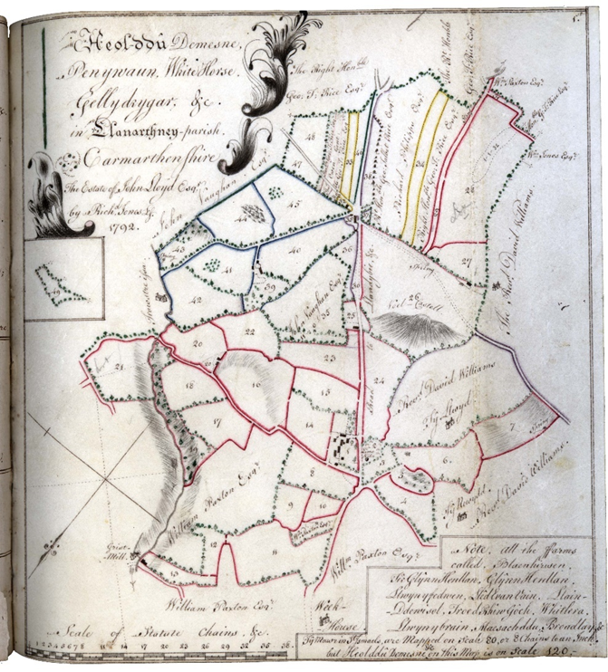
Both townships and the parish are an under researched area in landscape history in Wales. This project aims to address this fact through a comprehensive characterization of a rural Carmarthenshire parish from 1609 to the end of the First World War. The project will use a Deep Mapping technique to track changes in both landscape and land use. It will establish the township boundaries and explore the significance of these neglected territorial and administrative units. It will analyse the effect of the landed estates crossing through the parish on the landscape and land use. Finally, the response of the local population to the changes in the landscape to which they belong will be explored.
Recent activity: Hannah Jones, 'Middleton Hall in the Landscape', Carmarthenshire Antiquary 60 (2024), 39-54.

